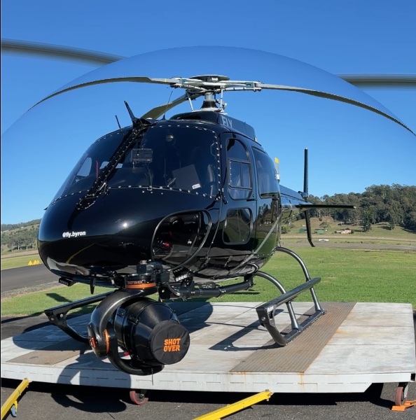
Aerial Survey, Filming
and Data Capture
Helicopter Aerial Survey, Filming and Data Capture
Aerial Imagery and Mapping
Rotorwing Helicopters provides expert aerial imaging services for high-resolution photography, wide-area mapping, and precision corridor route mapping. Operating at altitudes of up to 25,000 feet AMSL unpressurized, our highly skilled teams ensure safe and efficient project execution, delivering exceptional results for clients with complex imaging requirements.
Powerline and Corridor Mapping
Our helicopters are instrumental in powerline and corridor assessments for utility providers and geospatial companies. We conduct detailed inspections of transmission and distribution networks, assess vegetation encroachment, and support long-term asset management and maintenance planning. Rotorwing Helicopters holds CASA approval for low-level helicopter operations, allowing us to safely access even the most challenging terrains, including mountain passes, valleys, and densely vegetated areas.
Helicopter Surveys and Asset Inspections
For property, road networks, powerlines, or other asset inspections, helicopters offer unmatched efficiency and cost-effectiveness. Rotorwing Helicopters provides aerial survey services that enable a comprehensive understanding of location, distance, and asset characteristics. Whether you’re assessing property development potential, infrastructure proximity, or asset dimensions, our surveys provide invaluable insights.
Aerial Filming and Photography
If you require specialist aerial photography or filming services, Rotorwing Helicopters can support your creative vision with our tailored aerial filming capabilities. Our experienced team ensures every project is captured with precision and professionalism.

